-
Maps
- AstroApp supports several Astrological Maps. The main technique also known as A*C*G™, Astrocartography™, Astro*Carto*Graphy™, Astro-geography and Astro-Mapping, was originally pioneered by Brigadier Firebrace, and then later popularized by Jim Lewis.
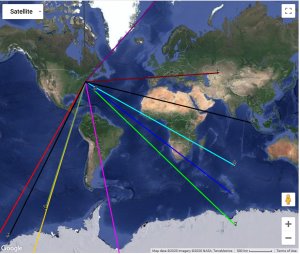
- Local Space Astro Maps (using classical method and the method of Rhumb lines).
- Geodetic Maps (in Longitude and RA)
- Johndro Maps (in Longitude and RA)
- Maps of Solar Eclipse paths (2 centuries of data).
- Ptolemaic Climes.
- Chorography according to Bonatti.
- Mapping Natural Disasters:
- Real-time Astrolocality maps of Earthquakes
- Real-time Astrolocality maps of the Coronavirus (COVID-19) spread with statistics on active cases, deaths and recovered cases
- Theme Maps
- Map Themes editor. Ability to create your own theme maps, use custom points, asteroids, arabic parts, etc with AstroCartoGraphy and Local Space maps.
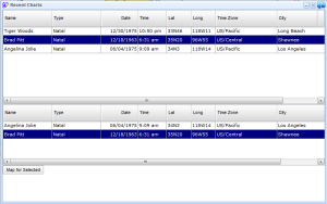
- Synastry Maps and Group Maps - ability to combine multiple charts on a single map.
- Ability to project any chart on the Map, including derived charts such as Midpoints synastry, Returns, Progressed charts, etc.
- Ability to project charts with any custom objects on Maps (such as asteroids, stars, fictitious planets, Arabic parts, Dark Stars and so on).
- Ability to project aspects for any object on AstroCartoGraphy maps and Geodetic Maps.
- Ability to filter aspects by value and by direction (dexter/sinister).
- Ability to add Midpoints to AstroCartoGraphy maps and Geodetic Maps.
- Ability to add Planetary Sums to AstroCartoGraphy maps and Geodetic Maps.
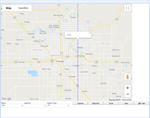
- Ability to zoom to street levels
- ACG and geodetic lines are clickable
Phaethon on the Atro map Synastry Map Theme: Moon from 2 charts 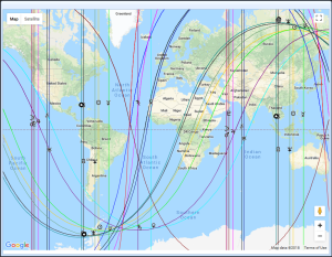
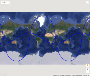
Local Space Astrology Local Space Astrology 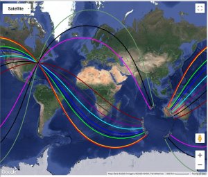
Earthquakes Astro Maps Maps of Solar Eclipses (Visibility Paths)Maps of Solar Eclipses (Visibility Paths) 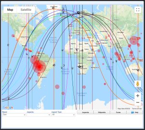

Coronavirus Astrology Coronovirus and Midpoints Planetary Sums 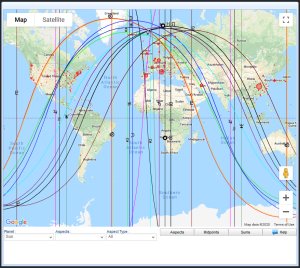
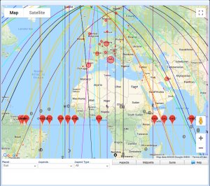
Coronavirus (COVID-19) Statistics 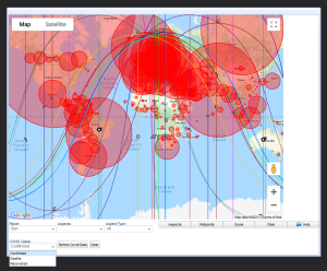
Coronavirus ACG and Midpoints COVID-19 astro maps Zoomed Midpoints 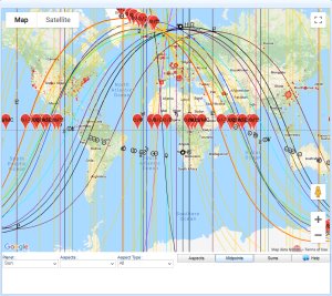
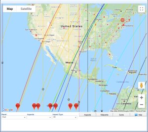
Synastry Map Theme Synastry Geodetic Map 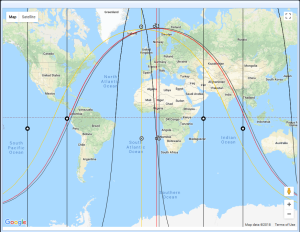
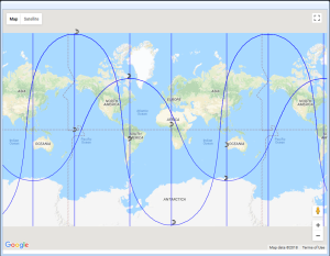
Geodetic Map Group Charts Selector 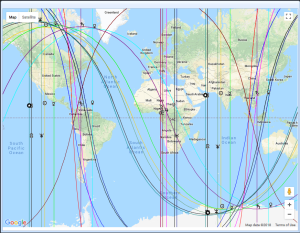
Clickable AstroCartoGraphy lines Street level zooming 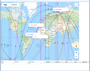
Free AstroMap Example


